The Arlberg Giro route
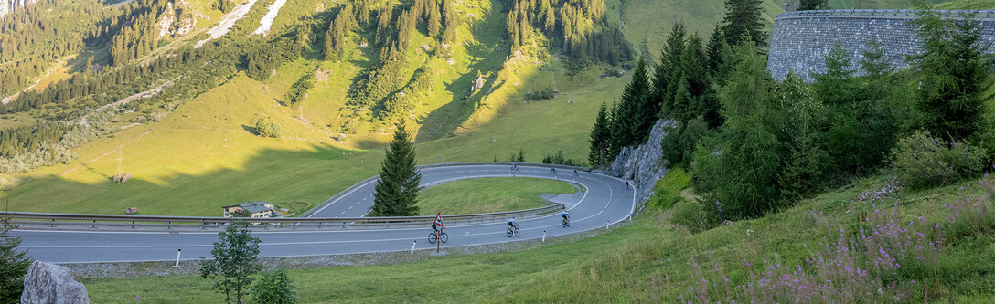
The race gets underway early in the morning in St. Anton am Arlberg. From there, the route first climbs the legendary Arlberg Pass before descending into the Klostertal Valley. Riders then continue through the Montafon and tackle the spectacular Silvretta High Alpine Road. The route eventually leads through the Paznaun and Stanzertal valleys before returning to St. Anton am Arlberg.
Every section of the course has its own character: long mountain climbs, flowing descents, wide Alpine valleys and spectacular views. The route demands endurance, concentration and strong bike-handling skills – and rewards riders with one of the most memorable road cycling experiences in the Alps.
Route

Elevation map

Route: St. Anton am Arlberg – Arlbergpass – Bludenz – Montafon – Ganifertal – Zeinisjoch – Paznauntal – St. Anton am Arlberg
Cut-off times: Arlbergpass: approx. 08.15 hrs - Zeinisjoch: 13.00 hrs - Finish: 16.00 hrs
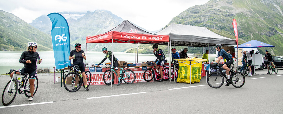
Points of Refreshment
Station 1
Gortipohl
at kilometre 60
Station 2
Ganiferalm
at kilometre 76
Station 3
Kopsstausee
at kilometre 79
Station 4
Pians
at kilometre 120
Station 5
St. Anton a.A.
at kilometre 142